Map Editor Plugins - Scalar Grid Layer
|
Installation Feature LayerStyles Effects Drop Shadow |
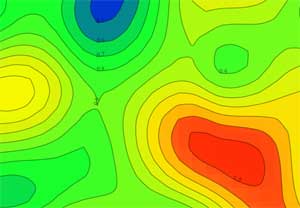
The scalar grid layer is a special layer type which draws gridded data read from ASCII text files.The data can be drawn as:
Filled Contours lines generated from a grid file Contours can be generated at evenly-spaced levels on round numbers and the colour map can be edited.
|